20 Lake Tahoe Hikes You Shouldn’t Miss (Easy to Hard Trails)
Wondering which Lake Tahoe hikes are worth it? There are so many amazing options to choose from, it’s helpful to have a little guide to know where to start! I’ve been hiking in Tahoe since 2014, so I’ve seen more than my fair share of trails.

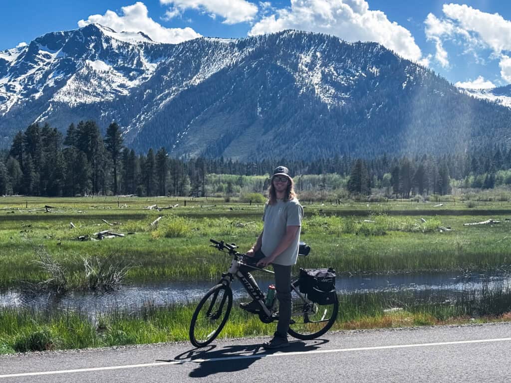
Yes, Lake Tahoe is known for its amazing beaches (and a ton of other great things to do besides skiing), but hiking is a natural (get it?) activity if you make it up to these California/Nevada mountains.
These are the 20 best Lake Tahoe hikes for every type of hiker, because trust me, there’s one for you. Want an easy day? There’s a hike for that. Want to get your butt kicked and see some incredible views? There’s a hike for that too. No matter what you’re looking for, I’ve got you covered.
Best Lake Tahoe Hikes: Quick Guide
Running short on time? Here’s a quick guide to the best Lake Tahoe hikes and other details for the perfect trip!
Best Lake Tahoe Hikes:
- Mount Tallac is the most famous (and the hardest) and Eagle Lake is one of the easiest/still beautiful options
Where to Stay in Lake Tahoe:
- Hyatt Regency Lake Tahoe in Incline Village if you want north shore luxury (watch for the new Nobu opening)
- The Landing Resort & Spa in South Lake Tahoe for a boutique lakefront experience
- A vacation rental in Tahoe City if you want the north shore without the resort prices
What Else to Do in Lake Tahoe:
- I have a complete guide to my 25 favorite things to do in Lake Tahoe
- The M.S. Dixie II cruise is a great way to see the water, or the private shoreline cruise if you’re with a group
- Guide to the best beaches here
- For hiking, Eagle Lake is the quick win and Mount Tallac is the full-day commitment
- For something different, the helicopter tour is pretty unique!
Best Restaurants in Lake Tahoe
All The Lake Tahoe Hikes in This Guide + A Google Map
Here’s every spot we’ll break down in this guide, please feel free to use the map to find whichever are closest to you! You can click each “hiker” icon for more info on the hike itself:
| Hike | Distance | Difficulty | Best For |
|---|---|---|---|
| Eagle Falls | 0.7 mi | Easy | Waterfall, quick stop above Emerald Bay |
| Tahoe Meadows Trail | 1 mi | Easy | Families, wildflowers, stroller-friendly |
| Cascade Falls | 1.4 mi | Easy | Waterfall viewpoint, pairs with Maggie’s Peaks |
| Eagle Lake | 2 mi | Easy | Alpine lake, waterfall, quick add-on |
| Castle Rock Trail | 2 mi | Easy–Moderate | South Lake Tahoe views, Emerald Bay add-on |
| Monkey Rock | 2.6 mi | Easy–Moderate | Quick north shore hike, lake views |
| Winnemucca Lake | 3 mi | Easy–Moderate | Wildflower fields, alpine lakes |
| Chickadee Ridge | 2.5 mi | Moderate | Quick morning hike, big views fast |
| Maggie’s Peaks | 4.5 mi | Moderate | Emerald Bay views from above |
| Five Lakes Trail | 4.5 mi | Moderate | Swimming, multiple alpine lakes |
| Van Sickle Trail | 5 mi | Moderate | Starts in SLT town, connects to Tahoe Rim |
| Flume Trail | 4–14 mi | Moderate | East shore views, flexible distance |
| Rubicon Trail | Up to 16 mi | Moderate | Sustained lake views, west shore |
| Loch Leven Lakes | 7 mi | Moderate | Hidden gem, quiet alpine lakes |
| Picnic Rock | 3 mi | Moderate | Best views for least effort, north shore |
| Shirley Canyon | 4–5 mi | Hard | Waterfalls, alpine lake, tram ride down |
| Ralston Peak | 6.6 mi | Hard | Short but steep summit, great views |
| Mount Tallac | 9.5 mi | Hard | Summit views, full-day adventure |
| Mount Rose | 10 mi | Hard | Highest peak, panoramic Sierra views |
| Freel Peak | 10–11 mi | Hard | Highest point in Tahoe Basin |
Best Lake Tahoe Hikes (Overall)
These are the five Lake Tahoe hikes that belong on any Lake Tahoe itinerary no matter your experience level. If you only have a few days and want to know where to put your energy, start here!
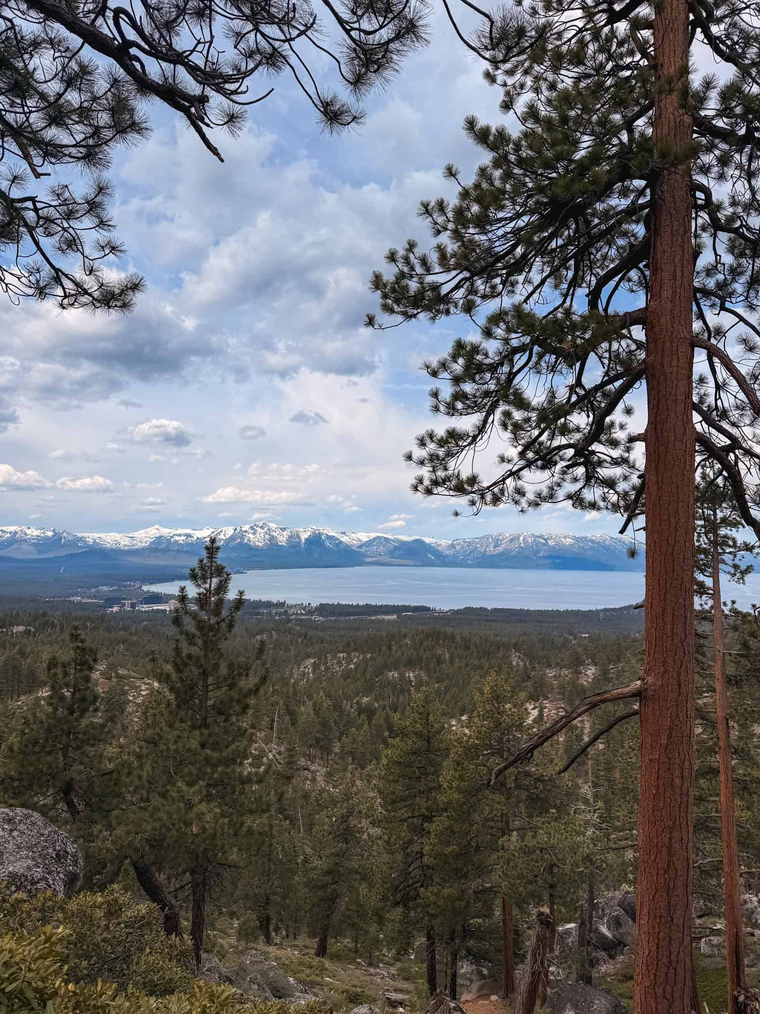
1. Mount Tallac
💰Cost: Free (Desolation Wilderness permit, self-issue at trailhead)
📍Distance: 9.5 miles round trip
📈Elevation: 3,200 ft
⚡Difficulty: Hard
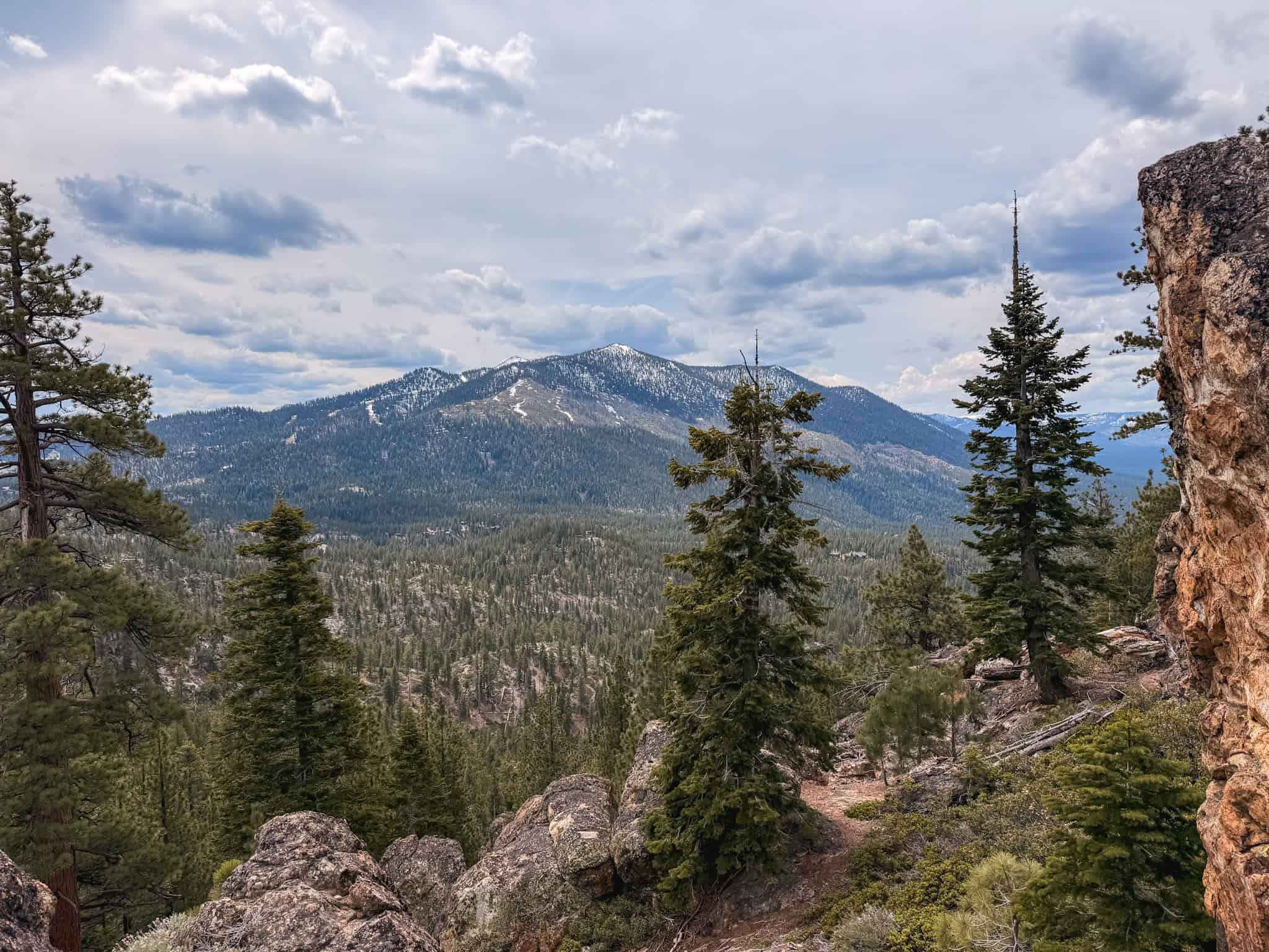
Mount Tallac is the hike locals always recommend first, and it’s a classic. You can see it basically from anywhere you are in South Lake Tahoe.
The summit is at 9,735 feet and the views are incredible: the whole lake basin spread out below you, Emerald Bay off to the west, Desolation Wilderness behind you.
My friend hiked the summit this May and it’s an epic day if you want to make it to the top. We’re talking 19 miles and serious elevation. But fortunately, you don’t have to go that far.
The trailhead is near Fallen Leaf Lake off Highway 89. The climb is relentless but never technical, so you don’t need any special gear, just solid fitness and an early start. You can also just hike for a bit and turn around if you’re not up for the full 19 miles.
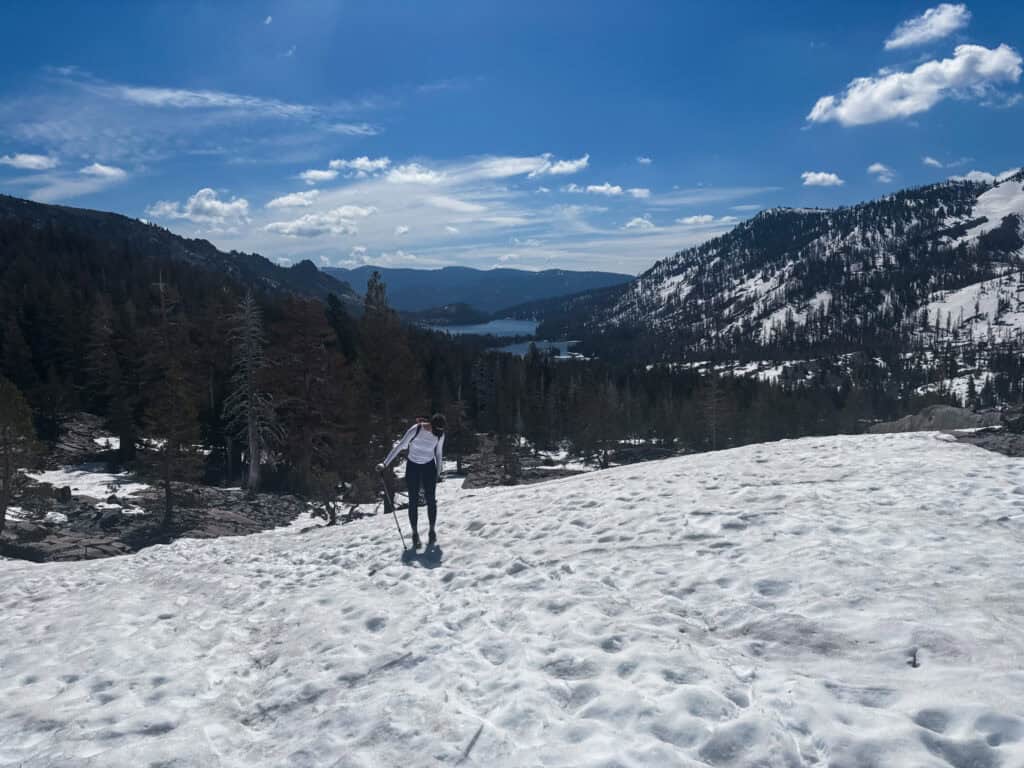
Good to know: Snow can linger on the upper slopes well into June. If you’re visiting in late May or early June, check trail conditions before heading out and bring layers! Or as my friends say “be bold, start cold” aka go early.
2. Rubicon Trail
💰Cost: $10/vehicle (D.L. Bliss State Park entry)
📍Distance: Up to 16 miles (can be done in shorter sections)
⚡Difficulty: Moderate
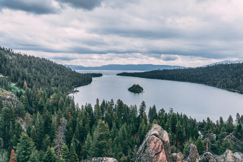
The Rubicon Trail runs along the west shore between Emerald Bay and D.L. Bliss State Park and it might honestly be the single most scenic trail at the lake.
You’re walking right at the waterline for most of it with gorgeous lake views the whole way, and there are little hidden coves to discover along the route.
Most people just do a section rather than the full 16 miles, which is totally fine. The stretch between Vikingsholm Beach and Rubicon Point is the most dramatic part, and it’s worth doing even if you turn around after two miles.
Good to know: Pairs beautifully with a stop at Vikingsholm if you’re already down at Emerald Bay.
3. Flume Trail
💰Cost: Parking fee at Spooner Lake ($15)
📍Distance: 4–14 miles depending on route
⚡Difficulty: Moderate
🥾Optional Tour: Off-the-beaten-path Hiking Adventure
The Flume Trail is on the east shore near Incline Village and has some gorgeous views that most tourists never get to see. It’s a wide trail, not steep at all once you’re up there, so it’s really accessible even though you can cover a lot of ground.
On a clear day you can see all the way across to the California side with the whole lake glittering below. The guided hiking adventure is a great option if you want a local showing you the best spots.
4. Maggie’s Peaks
💰Cost: Free (Desolation Wilderness permit required)
📍Distance: 4.5 miles round trip
📈Elevation: 1,500 ft
⚡Difficulty: Moderate
Maggie’s Peaks gives you way more than you’d expect for a 4.5-mile hike. The trail starts at Bayview Campground above Emerald Bay and takes you up to twin granite summits with some of the best above-the-bay views at the lake.
People always end up just sitting at the top for a while soaking it in, so pack a snack for the moment.
5. Mount Rose Summit Trail
💰Cost: Free
📍Distance: 10 miles round trip
📈Elevation: 2,400 ft
⚡Difficulty: Hard
Mount Rose is the highest peak in the Tahoe area at 10,776 feet, on the Nevada side above Incline Village. The summit ridge is long and wide open with huge views in every direction, Tahoe on one side, the Great Basin dropping away on the other, and wildflowers all over the slopes in summer.
It’s a longer day than people usually expect, so give yourself a full morning and don’t rush it.
Easy Lake Tahoe Hikes
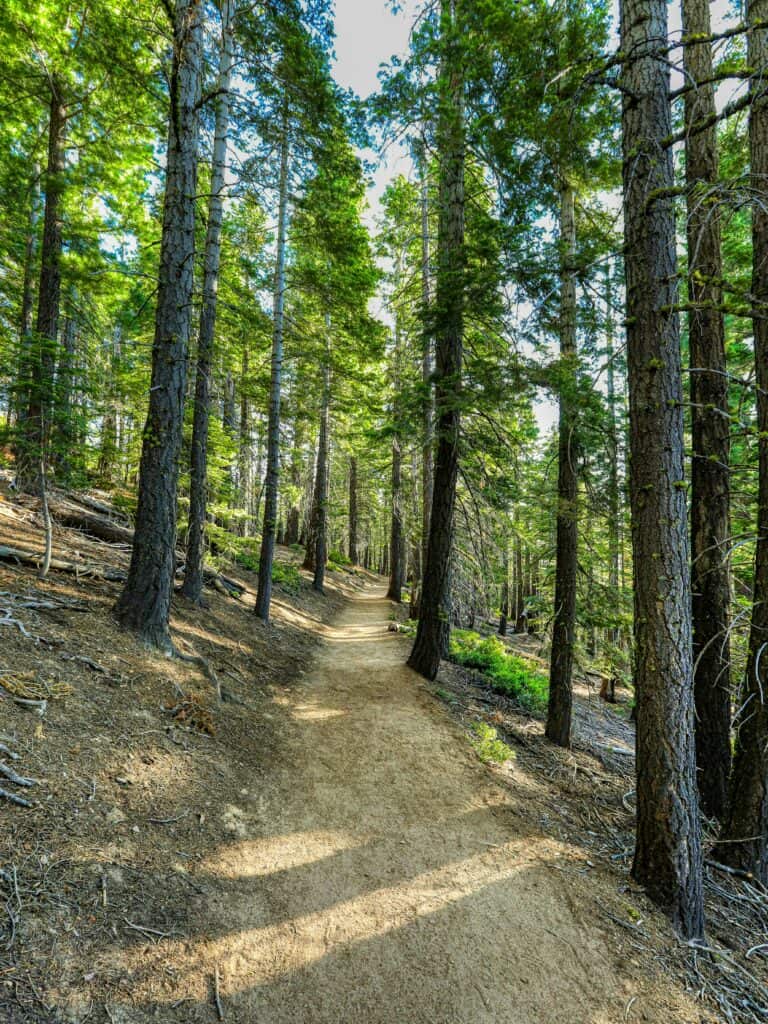
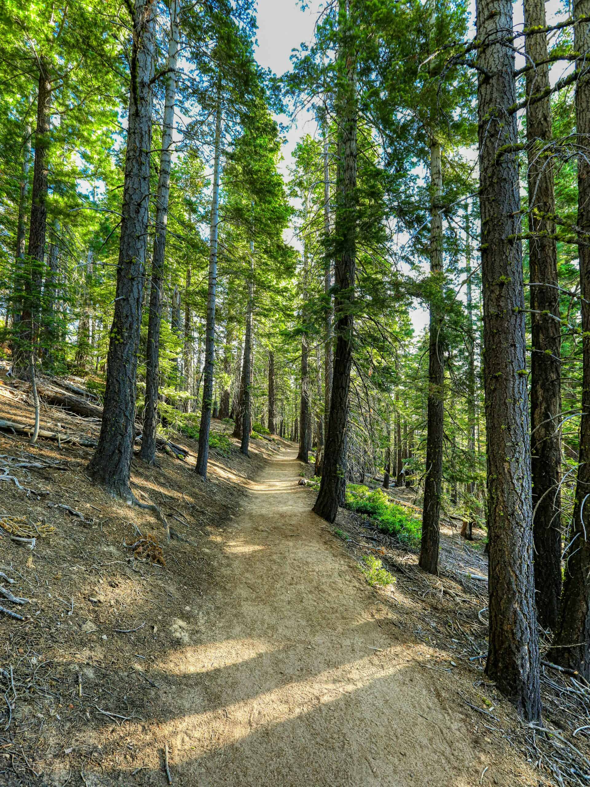
Look, everyone needs an easy day, right? Easy doesn’t mean boring when it comes to Lake Tahoe hikes. These trails are short and accessible and most of them have scenery that are just as amazing as the 10 mile trips.
Eagle Lake
💰Cost: Free (Desolation Wilderness permit, self-issue)
📍Distance: 2 miles round trip
⚡Difficulty: Easy
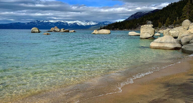
Eagle Lake is a gorgeous little alpine lake tucked into granite cliffs above Emerald Bay. The trail starts with a waterfall and ends at water so clear you can see the bottom from the shore.
It’s honestly basically a walk more than it is a hike. We wandered around for ~20 minutes before we headed to dinner and debated just how cold it would be to dive in.
It’s only two miles round trip, rocky in spots but never hard, and the payoff is way bigger than the effort. If you’re doing Emerald Bay anyway, just add this on. It’s about an hour to do the whole thing and it makes the whole day better.
In summer, get there early. The trailhead gets pretty packed because a lot of people come through just to see Emerald Bay, and parking is limited (but available for free near the road).
Monkey Rock
💰Cost: Free
📍Distance: 2.6 miles round trip
⚡Difficulty: Easy to Moderate
Near Incline Village on the north shore, Monkey Rock is a short trail up to a granite formation that actually does look like a monkey if you’re in the right spot (squinting helps).
The lake views are great from up there, and since the hike is so short you could knock it out before breakfast and still have the whole day free. Really solid option if you’re on the north shore and want a quick north Lake Tahoe hike without committing to anything big.
Tahoe Meadows Interpretive Trail
💰Cost: Free
📍Distance: 1 mile loop
⚡Difficulty: Easy
The Tahoe Meadows Interpretive Trail is a flat loop near the Mount Rose Highway with wildflowers in summer and mountain views all around.
It’s stroller-friendly, dog-friendly, and done in under an hour. It won’t blow your mind, but if you’re with kids or just want a nice easy walk before moving on with your day, it’s a really lovely little trail that most people skip.
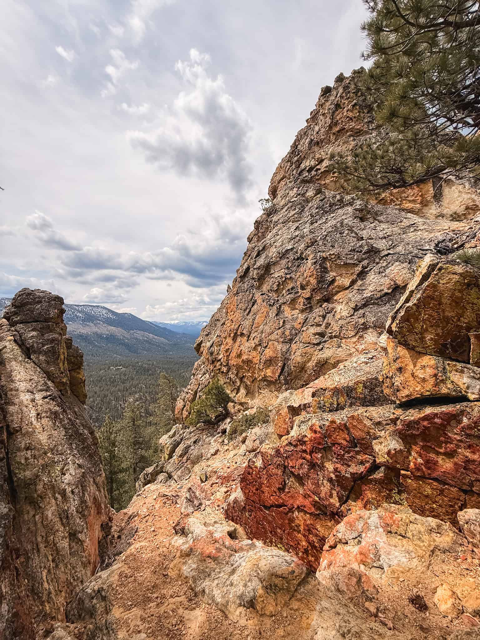
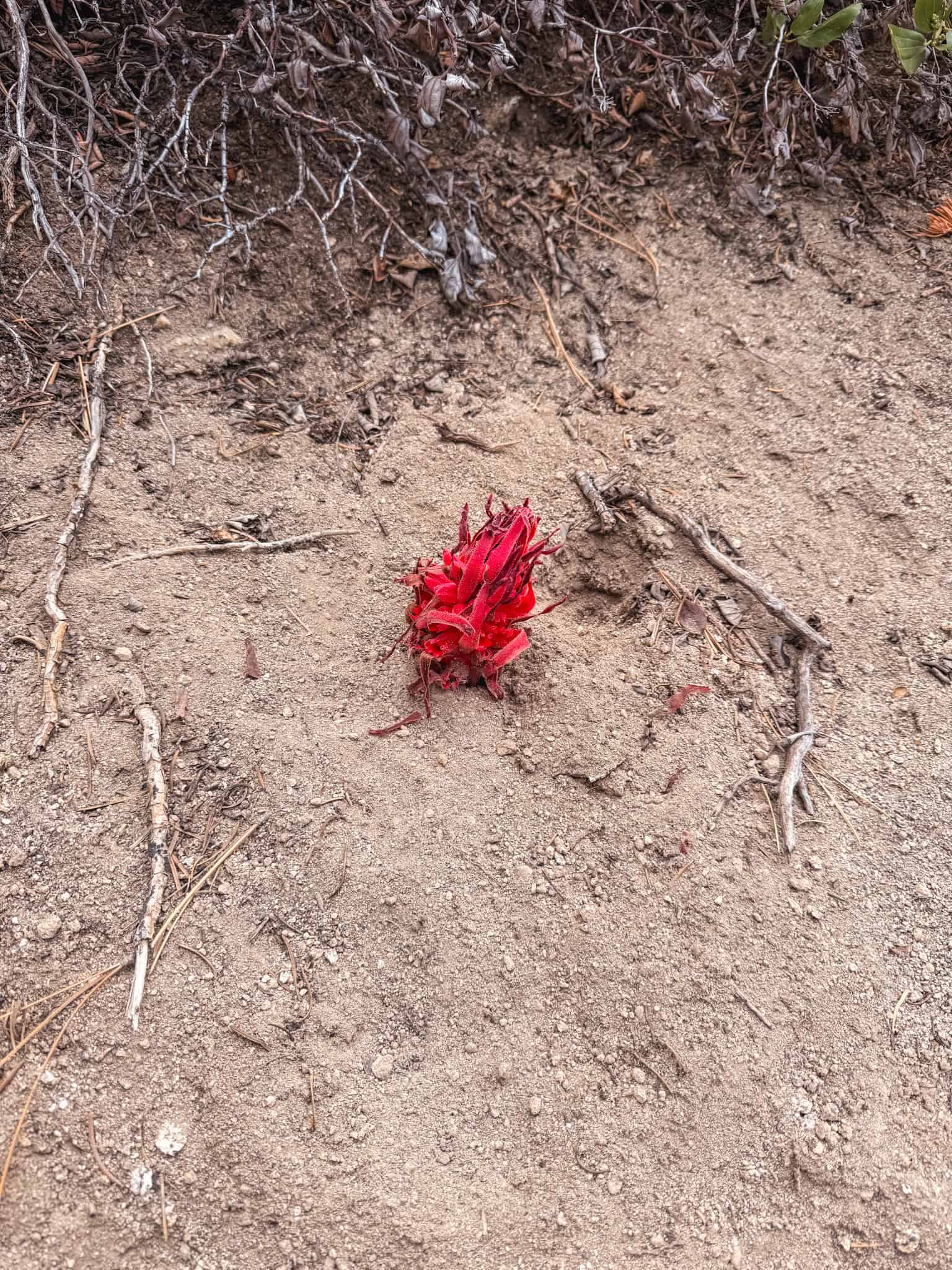
Castle Rock Trail
💰Cost: Free
📍Distance: 2 miles round trip
⚡Difficulty: Easy to Moderate
The Castle Rock Trail is right above Emerald Bay and the views along the way and from the top are pretty beautiful. You can see both the bay and all of Lake Tahoe stretching out beyond it.
We did it in the afternoon at the end of April so a light jacket was helpful, but you’ll definitely work up a little bit of a sweat!
The granite formations at the summit are this gorgeous red-orange color and you’ll see red snow plants if you’re there in Spring as well!
Since it’s only two miles it’s easy to tack on to an Emerald Bay afternoon.
Most of the trail is a pretty unassuming walk through the Sierras, which is actually kind of nice. Then you climb up to the rock and it opens up to these wide views of South Lake Tahoe that make it all worth it.
Moderate Lake Tahoe Hikes
Chickadee Ridge
💰Cost: Free
📍Distance: 2.5 miles round trip
⚡Difficulty: Moderate
Chickadee Ridge is a quick climb near Tahoe Meadows with big lake views that show up faster than you expect. There are usually birds all along the ridge (the name checks out).
It’s under three miles total, so you’re back at the car before lunch, which is perfect if you want to hike in the morning and have the rest of the day free to go to a Lake Tahoe beach.
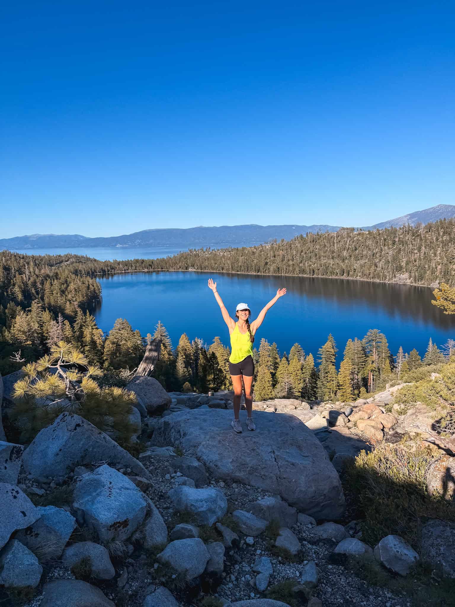
Winnemucca Lake
💰Cost: $5 day-use fee (Carson Pass trailhead)
📍Distance: 3 miles round trip
⚡Difficulty: Easy to Moderate
Winnemucca Lake is technically near Carson Pass rather than Lake Tahoe itself, but it’s close enough and honestly worth the drive just for the wildflower fields.
In peak season the blooms on this trail are some of the most stunning in the whole Sierra Nevada. And since you pass multiple little alpine lakes along the way, it feels like a much bigger adventure than three miles.
Van Sickle Trail to Tahoe Rim Trail
💰Cost: Free
📍Distance: 5 miles round trip
⚡Difficulty: Moderate
🥾Optional Tour: Hike Year-Round With a Local
The Van Sickle Trail basically starts in South Lake Tahoe town, which makes it super convenient. You don’t have to drive anywhere to get a really solid hike with great views at the top.
It connects to the Tahoe Rim Trail too, so you can keep going as long as you want. The local guided hike is a great pick here since the guide knows exactly which connector trails have the best overlooks.
Five Lakes Trail
💰Cost: Free (Desolation Wilderness permit)
📍Distance: 4.5 miles round trip
⚡Difficulty: Moderate
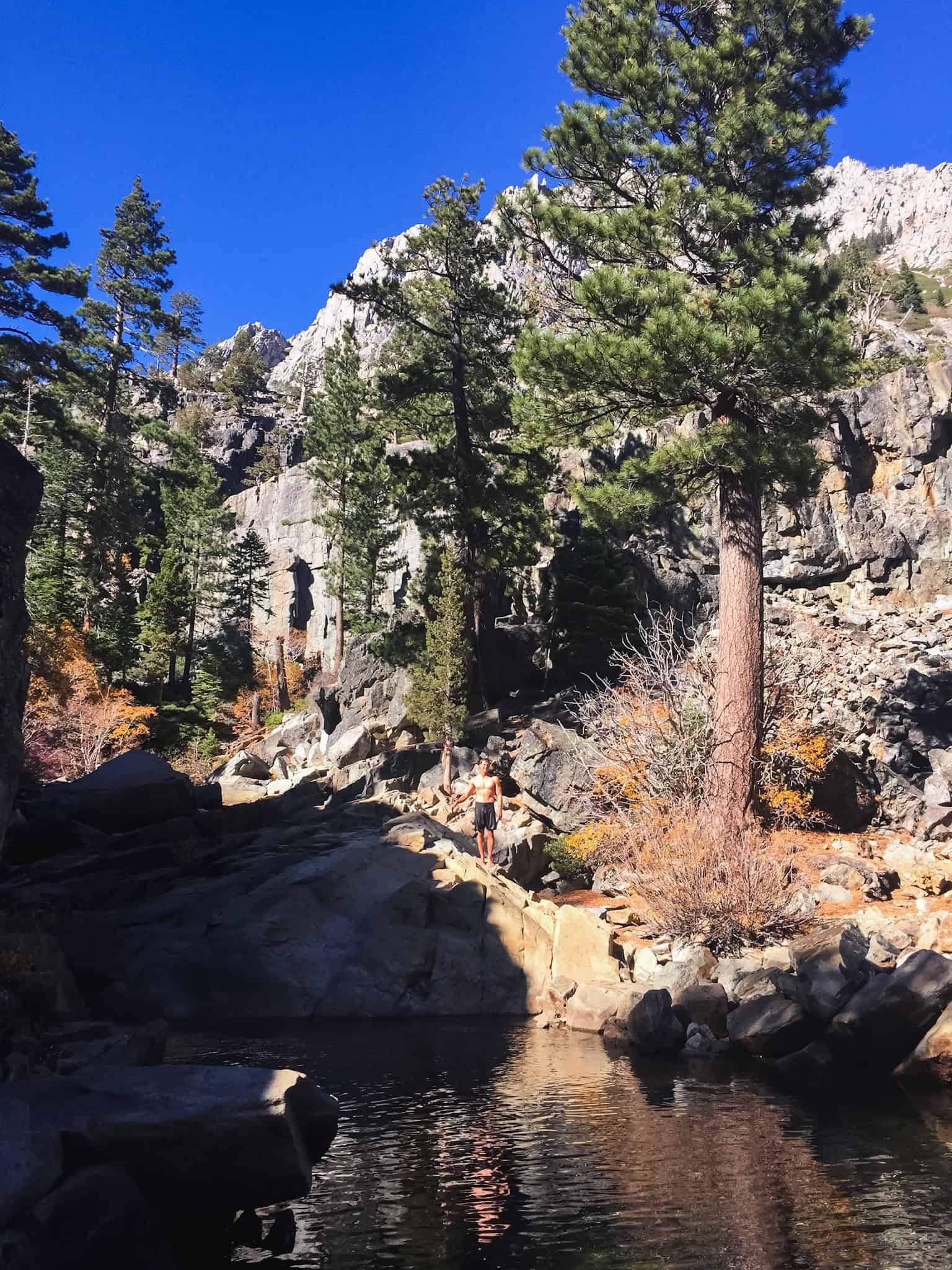
The Five Lakes Trail starts near Alpine Meadows (now Palisades Tahoe) and takes you to a gorgeous granite basin with five small alpine lakes, all of them swimmable in summer if you can handle cold water (you can).
The scenery is beautiful the whole way, and hitting a new lake every half mile or so makes it feel way more exciting than a typical out-and-back.
Hard Summit Hikes
Freel Peak
💰Cost: Free
📍Distance: 10–11 miles round trip
📈Elevation: 3,400 ft
⚡Difficulty: Hard
Freel Peak is the highest point in the entire Tahoe Basin at 10,881 feet. It’s a long trail with serious elevation gain, but the remote alpine terrain is beautiful and on a clear day the summit views stretch all the way from the Central Valley to the Great Basin.
It’ll be hard, but it’ll be beautiful. Go on a weekday if you can so there are fewer people on the trail.
Ralston Peak
💰Cost: Free (Desolation Wilderness permit)
📍Distance: 6.6 miles round trip
📈Elevation: 2,500 ft
⚡Difficulty: Hard
Ralston Peak near Echo Summit is shorter and steeper than most of the hard hikes on this list, which is actually great if you want a real summit experience without committing to a full day.
The views over the lake from the top are excellent, and the granite terrain on the upper section makes it feel genuinely adventurous. Short but steep is the right way to describe it.
Shirley Canyon
💰Cost: Free (parking at Palisades Tahoe main lot)
📍Distance: 4–5 miles round trip (or one-way with tram down)
📈Elevation: 2,000 ft
⚡Difficulty: Hard
🥾Optional Add-on: Via Ferrata Adventure at Palisades Tahoe
Shirley Canyon is one of the most popular hikes at Tahoe for good reason. The trail starts at Palisades Tahoe, follows a creek up through the canyon past multiple waterfalls, and ends at Shirley Lake before continuing to High Camp at the top of the mountain. The best part: you can take the aerial tram back down for free, which makes it a one-way hike and saves your knees entirely.
The trail gets crowded on summer weekends and the parking lot fills fast, so go early. If you want to take it further, the Via Ferrata at Palisades Tahoe is a guided climb up fixed ropes on the granite faces above the resort — no climbing experience needed, just decent fitness and no fear of heights.
Waterfall Hikes in Lake Tahoe
Eagle Falls
💰Cost: $10 parking (same lot as Emerald Bay Overlook)
📍Distance: 0.7 miles round trip
⚡Difficulty: Easy
Eagle Falls is right above Emerald Bay and practically walkable from the parking lot, so it’s more of a quick stop than a real hike. The falls are large and loud in early summer when the snowmelt is running, and the short trail gives you views of both the waterfall and Emerald Bay below.
It shares a parking lot with Eagle Lake and the same crowd comes through, so the same rule applies: earlier is better, especially on summer weekends.
Cascade Falls
💰Cost: Free (parking at Bayview Campground)
📍Distance: 1.4 miles round trip
⚡Difficulty: Easy
Cascade Falls is a short trail near Bayview Campground that ends at a waterfall viewpoint above Cascade Lake with Lake Tahoe visible in the distance. We did this as an easy end of day, after-work hike in early May and it was an awesome way to unwind.
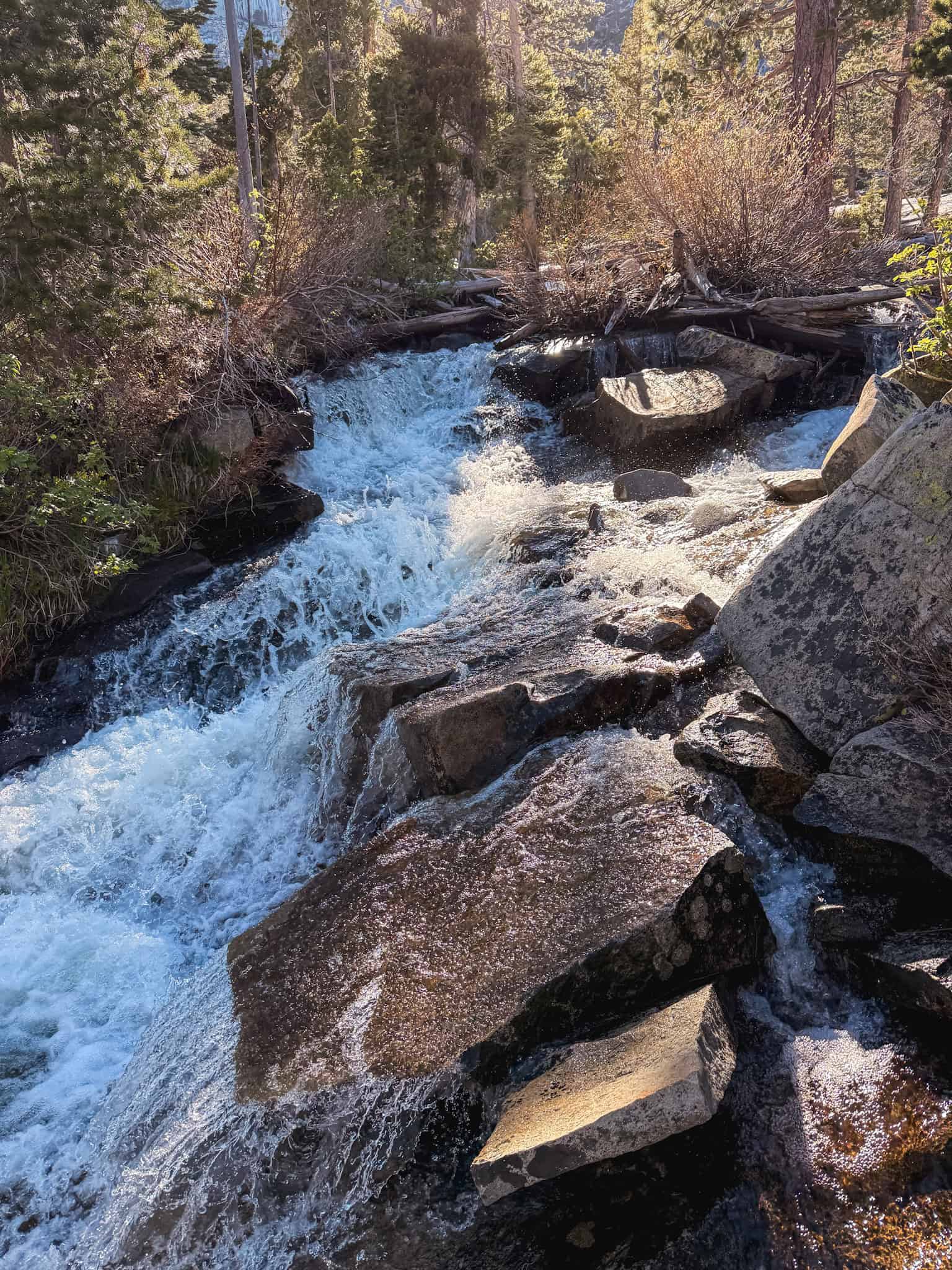
The scenery is way more dramatic than you’d expect from a 1.4-mile hike, and it pairs perfectly with Maggie’s Peaks if you want to make a full morning out of the Bayview Campground trailhead.
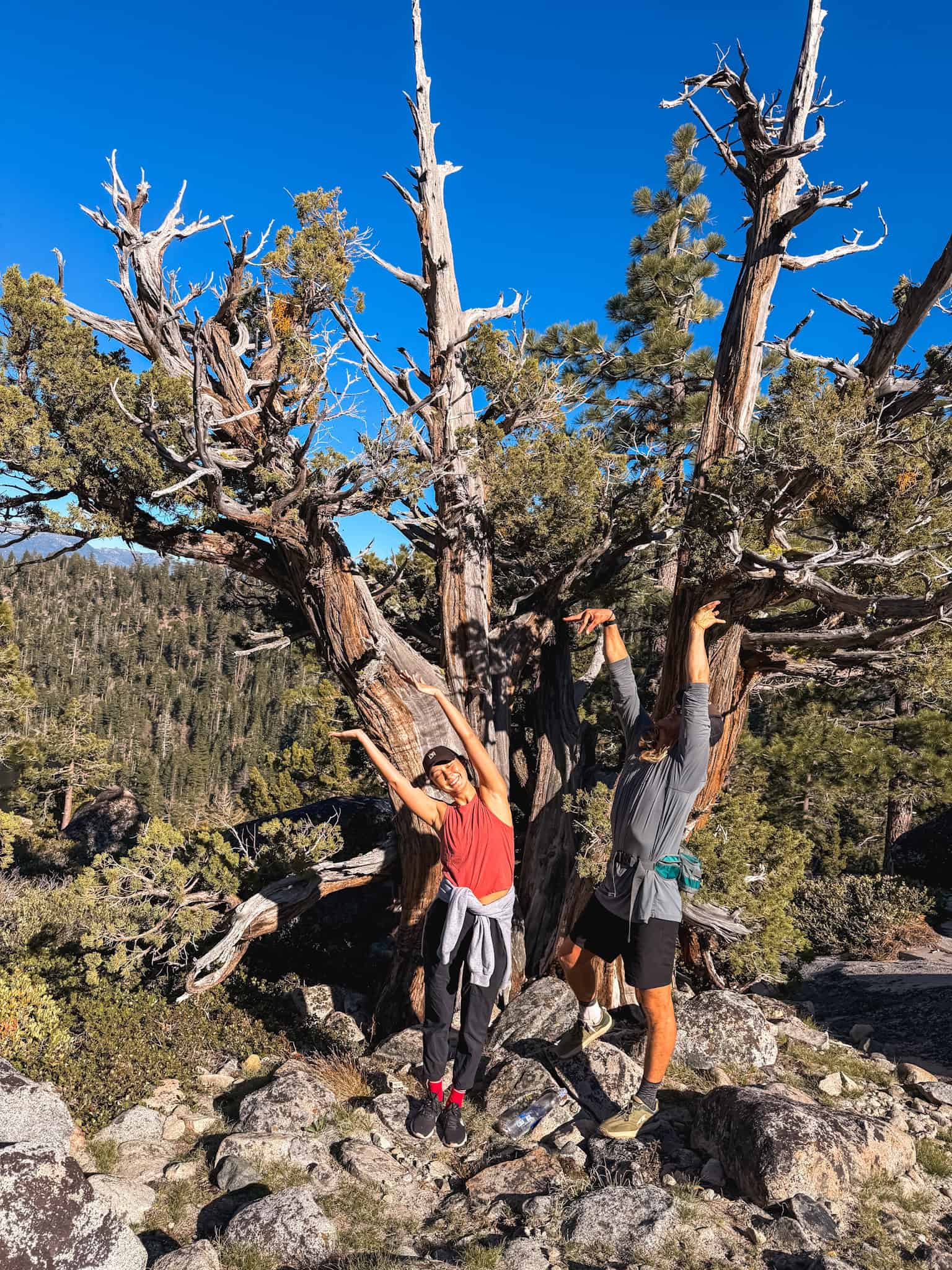
Hidden Gem Lake Tahoe Hikes
Loch Leven Lakes
💰Cost: Free
📍Distance: 7 miles round trip
⚡Difficulty: Moderate
Loch Leven Lakes is technically north of Tahoe near Donner Summit, but it’s close enough to include and far enough off the tourist path that it stays really quiet.
You’re hiking through a series of alpine lakes in gorgeous granite landscape, and you’ll see way fewer people than you would on comparable trails closer to the lake. If you’ve done the main stuff and want something that feels a little more off the beaten path, this is it.
Picnic Rock
💰Cost: Free
📍Distance: 3 miles round trip
📈Elevation: 740 ft
⚡Difficulty: Moderate
Picnic Rock is consistently described as the best views for the least amount of work at Lake Tahoe, and that’s pretty hard to argue with. The trailhead is at Brockway Summit on Highway 267 between Truckee and Kings Beach, and the hike is mostly shaded forest trail with a short steep push at the top. From the rock formations at the summit you get a 360-degree panorama — Lake Tahoe below, Truckee and Donner Summit behind you, and Desolation Wilderness to the south.
It’s 4,432 AllTrails reviews popular, which explains why the small parking area fills up. Get there early on weekends or you’ll be parking on the highway shoulder. The sunset hike and photography tour is worth considering if you want a guided evening version with the best light on the lake.
Best Lake Tahoe Hikes for Families
I know there are a bunch of hikes in the list, but these are the ones I’d specifically call out for families:
Tahoe Meadows Interpretive Trail
It’s flat, stroller-friendly, and you can tackle it in under an hour. The meadow setting with mountain views in every direction makes it feel special even though it requires almost no effort, and the wildflowers in summer make it even better. If you’re traveling with young kids and want everyone to have a good time without a meltdown, start here.
Eagle Lake
It’s two miles round trip with a waterfall partway up and an alpine lake at the end, and kids tend to love both of those things. It’s honestly really just a walk, and you can go as long as you want and turn right back around! It’s super easy.
Cascade Falls
It’s short, dramatic, and requires almost nothing from small legs. There’s a bit of a scramble at the end but two ~11 or 12 year olds were finishing as we started and they said they had a great time.
The waterfall viewpoint impresses people of all ages, and the Cascade Lake scenery behind it is a genuinely beautiful backdrop. It’s a good pick when you want a real nature experience without committing to a full hike.
What to Pack for Lake Tahoe Hikes
Lake Tahoe sits at 6,225 feet and the weather changes fast, so packing right actually matters. These are the things I bring every time — you can find my full Lake Tahoe packing list on Amazon if you want to grab everything in one place.
| Item | Why I Bring It |
|---|---|
| Microfiber travel towel | Packs down to nothing, dries fast. Essential for the hike-in beaches and alpine lakes. |
| Teva water sandals | I am a baby about rocks on my feet. These are a game changer on the east shore beaches and rocky trails. |
| Columbia waterproof hiking boots | Snow can linger into June on higher trails. Waterproof boots are worth it, especially for Mount Tallac and Mount Rose. |
| Insulated water bottle (Owala) | The hidden beaches have zero facilities. Bring everything you’re going to drink. I love this one. |
| Trekking poles | Non-negotiable on the hard hikes. The descent on Mount Tallac is steep and your knees will thank you. |
| Crampons / ice cleats | If you’re hiking in May or early June, upper elevation trails can be icy. These slip over your boots and weigh nothing. |
| Day hiking backpack | Most hike-in beaches and summit trails are pack-in, pack-out. A good 20–30L pack handles everything. |
| Sunscreen serum | Altitude means you burn faster than you expect. I use this one — lightweight enough that you’ll actually reapply. |
Practical Tips for Hiking in Lake Tahoe
- Start early. Afternoon thunderstorms are common in summer, especially at elevation. Most summit hikes should have you heading down by noon.
- Desolation Wilderness permits are required for many of the trails near Emerald Bay and the south shore. Day-use permits can be picked up at the trailhead at no cost. Just fill in the form and attach it to your pack.
- Carson Pass charges a $5 day-use fee for parking, which covers Winnemucca Lake and other trails in the Carson Pass Management Area. Bring a credit card since the kiosk doesn’t take cash.
- Snow lingers into June on higher elevation trails. Mount Tallac, Freel Peak, and Mount Rose can all have significant snow coverage in late May and early June.
- Altitude is real. Lake Tahoe sits at 6,225 feet and most trailheads are higher than that. If you’re coming from sea level, give yourself a day to adjust before attempting anything hard. And drink water!
- Parking fills fast at popular trailheads, especially Emerald Bay, Eagle Falls, and Bayview Campground. Before 8am on a summer weekend is the target.
- Bring layers. Summit temperatures drop fast and afternoon wind at elevation can be cold even in July.
FAQs About Lake Tahoe Hikes
Mount Tallac gets this answer from most locals, and the summit view of the entire Tahoe basin is hard to beat. The Rubicon Trail is the best for sustained scenery at a lower difficulty level, with constant lake views the whole way. Maggie’s Peaks is the best if you want Emerald Bay views specifically.
The south shore has the highest concentration of serious hikes including Mount Tallac, Freel Peak, Ralston Peak, and access to Desolation Wilderness. The west shore has the Rubicon Trail and Maggie’s Peaks. The north shore near Incline Village and Tahoe Meadows has easier, more accessible trails. The east shore is better known for beaches than hiking, though the Flume Trail above it is excellent.
For hiking, Mount Tallac for the summit view and the Rubicon Trail for the lake scenery. Beyond hiking, Emerald Bay is the most iconic spot in the basin and worth seeing from multiple angles: from the overlook on Highway 89, from the water by kayak, and from the beach at the base. There’s a full guide to the best things to do at the lake here.
Many trails in and around Desolation Wilderness require a free day-use permit, which you self-issue at the trailhead. This includes trails to Eagle Lake, Maggie’s Peaks, Five Lakes, and Ralston Peak. Mount Rose and Freel Peak don’t require permits. Always check current requirements before you go as regulations can change seasonally.
Eagle Lake (2 miles, waterfall and alpine lake), Cascade Falls (1.4 miles, dramatic waterfall viewpoint), Eagle Falls (0.7 miles, right above Emerald Bay), and the Tahoe Meadows Interpretive Trail (1-mile loop, flat and family-friendly) are the best easy Lake Tahoe hikes. All have big scenery for minimal effort.
July through September is the sweet spot. Snow is mostly gone from high-elevation trails, wildflowers are out, and the days are long. Late June works for many trails but higher summits may still have snow. October is beautiful with fall color and fewer crowds but days get short fast, and summer afternoons bring thunderstorms, so early starts matter regardless of when you visit.
Final Thoughts on Lake Tahoe Hiking
The thing about Lake Tahoe hikes is that almost all of them end somewhere beautiful. You’re either looking down at the lake from above, walking along its edge, or arriving at an alpine lake that nobody warned you about. It’s hard to pick a bad trail here, which is a good problem to have.
If you’re still planning your trip, the full guide to things to do in Lake Tahoe has everything beyond the trails: boat tours, beaches, and the spots worth building your itinerary around.